Yearly Archives: 2017

Drone Construction Surveying

Unmanned aerial vehicle (drone) construction surveying, mapping and imaging can provide significant advantages for general contractors, construction managers and real estate developers. Trade contractors, architects and engineers also find UAV drone mapping invaluable in a variety of settings.

drone-construction-surveying

Today, drone surveys are revolutionizing the construction industry. Improved quality and safety, combined with nearly instant access to survey data and imagery, can help protect your project’s budget and schedule — and ideally help you reduce both.

Drone Technology Is Revolutionizing the Construction Industry

In addition to traditional GIS mapping and surveying, UAV technology offers other significant advantages to companies in the design, development and construction industries.

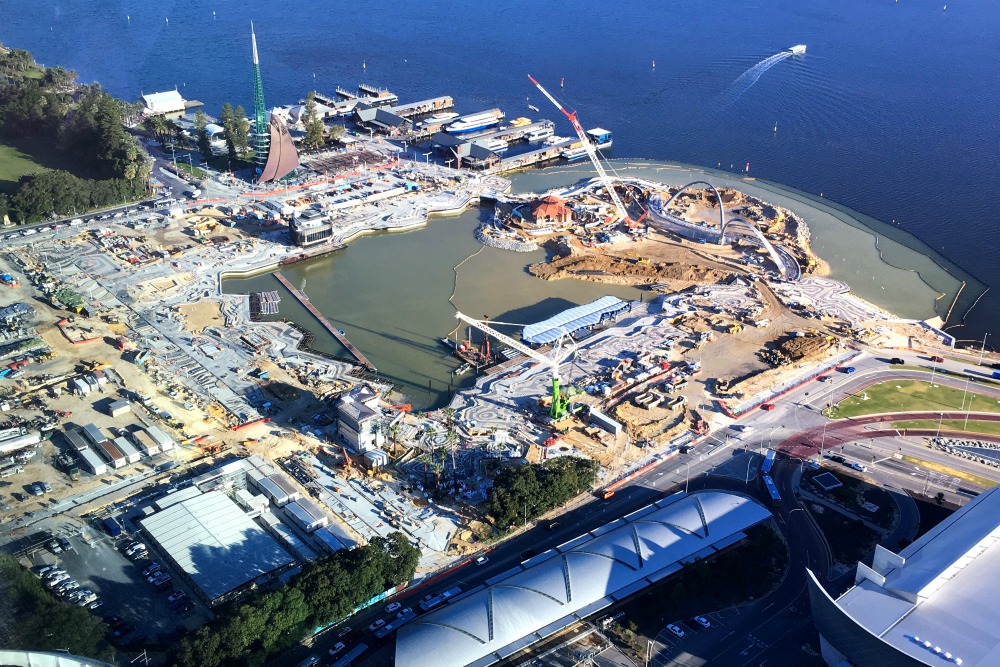
Drone photography and videography can be used to track and report on a project’s progress for legal documentation, client reporting and marketing. These tools are also appropriate for inspection purposes, especially into areas that may be difficult or even impossible to access in traditional ways.

In a recent example, drone construction surveying was used on a large hospital project to compare a subcontractor’s completed grading and earthwork to the project’s site design. In a single day, an experienced UAV consultant flew the site, uploaded the data into their software program and generated an elevation map, orthomosaic map and a three-dimensional model.

Benefits of UAV Construction Surveying

As illustrated by the hospital project example, UAV construction surveying and drone mapping can provide a wealth of relevant data and reporting that — if available at all — would require days or weeks to obtain.

Because drone surveying is accomplished with an unmanned aerial vehicle, human safety is never at issue, unlike traditional methods of surveying and mapping. This can translate to an improved safety record and potential liability insurance premium reductions.

From a quality control perspective, drone aerial surveying can ensure that potential field errors are identified and addressed quickly. It can help protect the project’s schedule and budget. Legally, drone mapping and surveys can be used to support trade contractor progress payment decisions and to document potential disputes.

Using UAV Drone Mapping as a Promotional Tool

The data, maps and imaging that result from drone construction surveying also help you grow your business.

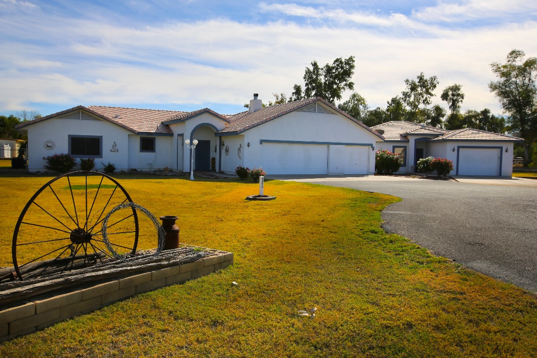
UAV images — still photography and videography — make impressive additions to your company’s website, advertising and marketing proposals. Current and potential clients will appreciate your commitment to quality and thorough documentation.

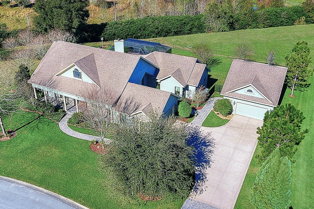
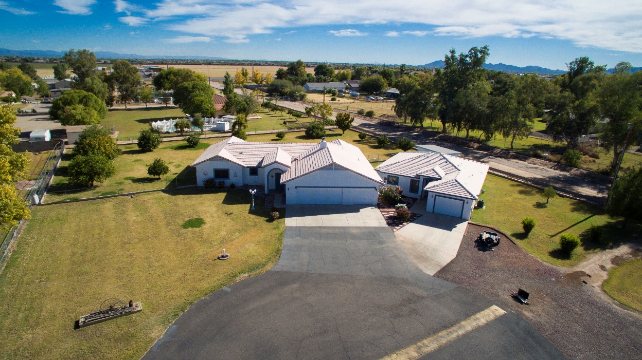
As a sales tool for real estate developers, drone construction surveys and flyover images provide an impressive, birds-eye perspective to potential investors, tenants and end users. And as these dazzling visual sales tools can be used in property listings and ads, they can do more for sales than a dozen staff members — for a fraction of the cost.

Hot Shots Aerial provides a range of UAV services, including real estate drone photography, event videography, and aerial construction imaging. Contact us today to learn more about how our services can benefit your project, or to schedule UAV drone construction surveying for your project.

Real Estate Drone Photography Gives You an Edge

Real estate drone photography is changing the way buyers shop for new homes and, as a direct result, it’s changing the way that Realtors® market their listings.

Bill Brown, President of the National Association of Realtors® (NAR), says using drone photography (and videography) in real estate listings has streamlined the buying and selling process by providing more visual information at a reasonable cost.

real-estate-drone-photography

Today, the NAR is encouraging its members to embrace this technology for marketing their property listings, because of the significant benefits it provides.

Real Estate Drone Photos Sell Listings Faster & for More Money

When real estate drone photography first came onto the scene, it was used primarily by commercial developers and agents for large or high-dollar listings. At that time, the technology was rare and expensive, so it only made financial sense for larger listings.

Today, drone imaging is nearly as affordable as professional photography for real estate listings, putting it within reach for any Realtor®. And, because it provides so many proven advantages, the return on investment can be significant.

As every Realtor® knows, visual marketing is what brings buyers to see listings. Professional real estate photography sells homes, on average, 21-40 days faster, and for about $11,200 more than listings that don’t use professional images.

Drone Photos Make the Best First Impression

You have 20 seconds to sell a potential buyer on your listing. How do you spend those first 20 seconds?

The research tells us that potential buyers spend about 20 seconds looking at a property listing’s featured image (although other studies say it’s more like 6-10 seconds). The impression that image makes determines whether they keep looking at that listing or move on to the next one.

A single drone aerial image gives that potential buyer as much information as 10 or more traditional photos. Not only can they see how the home lays out on the site but they can see the home in the full context of the surrounding properties.

real-estate-drone-photography

Perhaps even more important, an oblique angle provokes a different psychological response from the viewer. This angle creates a three-dimensional, “bird’s eye view” perception for the viewer the creates an emotional reaction you cannot achieve with a traditional, eye-level perspective.

Isn’t that a better way to captivate a potential buyer in that first, make-or-break 20 seconds?

real-estate-drone-photography

This is the same home as above, but the aerial view shows the surrounding properties, and how the home sits on the land.

Drone Photos for Listings Attract New Clients

Research from Inman puts the bottom line on this discussion: Realtors® who use professional imaging earn twice the commission of those who do not.

Don’t forget about drone videos for your property listings. The overwhelming majority of homeowners – 73 percent – say they are more likely to list with an agent who uses video to market their homes. Today, more than 70 percent of potential sellers find their agent online. Because you aren’t there to pitch yourself in person, imagine how effectively professional drone photos and videos will make your case for being their agent.

Hot Shots Aerial specializes in drone photography and videography services, including aerial surveying and event videography. Our Realtor® packages are affordable and adaptable to your needs, and appropriate for listings of all sizes and price ranges. Contact us today to learn more about real estate drone photography.